
WHITEMAN'S VALLEY
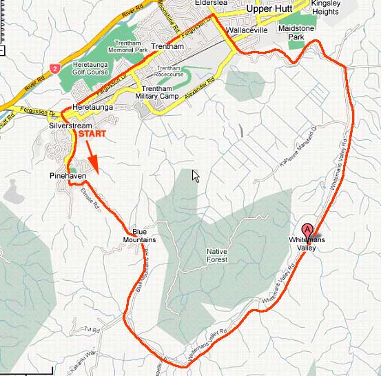
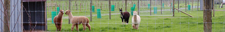
Near Upper Hutt: About 30km in total. We normally start at Silverstream or the bottom of Blue Mountains Rd, so we can tackle the climb fresh. It's about 6km to the top and then it's level with a slight downhill gradient for the rest of the jouney, except for a short easy climb up the Wallaceville Hill. From the top, freewheel down into Ward Street, Upper Hutt, and along spacious urban Fergusson Drive, back over the railway line to Silverstream. Blue Mountains Rd winds up through forest, but the valley itself is farmed, with occasional lifestyle blocks. A pleasant trip, and easy-going after the initial hill. (If you're wanting to extend the trip by another 16 km or so return, take the Mangaroa Valley Rd just before the road veers west towards Wallaceville, and emerge north of Upper Hutt at Maymorn. Return to base from there.)